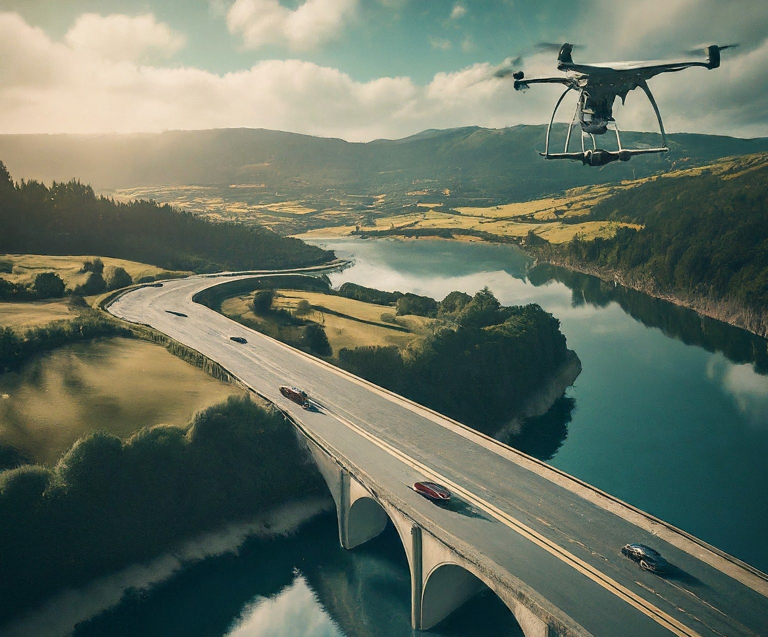
Drone inspection has emerged as a cutting-edge solution across various industries, offering a safer, more efficient, and cost-effective method for conducting inspections. This technology leverages unmanned aerial vehicles (UAVs) equipped with high-resolution cameras, sensors, and advanced software to gather detailed visual and data-based insights. Here’s a detailed look at the process of drone inspection and some examples of its applications.
The Drone Inspection Process
- Planning and Preparation
- Objective Definition: Clearly define the inspection goals, such as identifying structural damage, assessing crop health, or monitoring environmental conditions.
- Site Survey: Conduct a preliminary survey of the inspection site to understand the layout, identify potential hazards, and determine flight paths.
- Regulatory Compliance: Ensure all necessary permits and approvals are obtained from aviation authorities. Adhere to regulations regarding flight altitude, no-fly zones, and privacy concerns.
- Equipment Selection: Choose appropriate drones and payloads (cameras, sensors, LiDAR, etc.) based on the inspection requirements.
- Flight Planning
- Route Mapping: Develop a detailed flight plan using specialized software. This includes setting waypoints, defining flight altitude, and ensuring optimal coverage of the inspection area.
- Risk Assessment: Identify potential risks, such as obstacles, weather conditions, and interference, and develop mitigation strategies.
- Data Collection
- Pre-Flight Check: Perform a comprehensive check of the drone’s hardware and software to ensure everything is functioning correctly.
- Autonomous Flight: Deploy the drone to follow the pre-determined flight path. Drones can operate autonomously or be manually controlled by a pilot.
- Real-Time Monitoring: Monitor the drone’s flight and data collection in real-time to ensure quality and safety. Ground control stations allow operators to make adjustments if needed.
- Data Processing and Analysis
- Data Retrieval: Once the flight is completed, retrieve the collected data, which may include high-resolution images, videos, thermal scans, and other sensor data.
- Data Processing: Use advanced software to process the raw data. This can involve stitching images together to create orthomosaic maps, generating 3D models, and analyzing sensor data for specific parameters. and visually inspect high resolution images using high resolution image viewer, Publishlet.com is the most performant online service for hosting high resolution images for drone inspection.
- Analysis and Reporting: Analyze the processed data to identify issues, anomalies, or trends. Generate detailed reports with actionable insights for stakeholders. and share drone inspection notes on high resolution images using publishlet.com.
- Action and Follow-Up
- Report Delivery: Share the analysis and reports with relevant parties. This may include maintenance teams, engineers, agronomists, or regulatory bodies.
- Action Implementation: Based on the inspection findings, implement necessary actions such as repairs, maintenance, or operational adjustments.
- Follow-Up Inspections: Schedule periodic follow-up inspections to monitor changes over time and ensure issues are adequately addressed.
Examples of Drone Inspection Applications
1. Infrastructure and Construction
Drone inspections are widely used in the construction industry for monitoring progress, inspecting structures, and ensuring safety compliance. For example, drones can capture detailed images of a building’s façade to identify cracks, water damage, or other structural issues. They are also employed to survey large infrastructure projects such as bridges, dams, and highways, providing critical data without the need for scaffolding or ground-based inspections.
2. Energy Sector
In the energy sector, drones play a crucial role in inspecting power lines, wind turbines, and solar panels. For instance, energy companies use drones equipped with thermal cameras to detect hotspots in solar panels, indicating potential failures or inefficiencies. Similarly, drones can inspect wind turbine blades for signs of wear and tear, reducing the need for manual inspections and minimizing downtime.
3. Agriculture
Agricultural drones are revolutionizing precision farming by providing farmers with detailed insights into crop health, soil conditions, and irrigation efficiency. Drones equipped with multispectral sensors can analyze crop health by capturing data on plant reflectance. This helps farmers detect pest infestations, nutrient deficiencies, and other issues early, allowing for targeted interventions that enhance yield and reduce costs.
4. Environmental Monitoring
Environmental agencies use drones for monitoring natural resources, wildlife, and environmental conditions. For example, drones can survey forests to assess tree health, detect illegal logging, and monitor wildlife populations. They are also deployed in disaster response scenarios to assess damage, map affected areas, and aid in search and rescue operations.
5. Oil and Gas Industry
In the oil and gas industry, drones are used to inspect pipelines, offshore rigs, and storage tanks. They can quickly and safely survey extensive pipeline networks, detecting leaks, corrosion, or other issues that might pose safety risks. Offshore, drones provide a safer alternative to traditional inspections, which often require personnel to work in hazardous conditions.
Conclusion
Drone inspection technology is transforming how industries conduct inspections, offering unprecedented levels of safety, efficiency, and accuracy. As drone technology continues to advance, its applications are expected to expand further, providing even more innovative solutions to meet the needs of various sectors. From construction to agriculture, the integration of drones into inspection processes is paving the way for a smarter, safer, and more efficient future.
